
THE NETWORK
Powered by ATLAS™

ATLAS · The Network · Living Tree
Find campgrounds, hidden gems, and places other travelers have explored. See what they learned, plan your next stop, and save a memory of your own.
🧭 Explore the MapThe newest Dude RV videos, each on its pin on the map.
New places and videos show up here as they are added to the map.
Open a pin, see a place
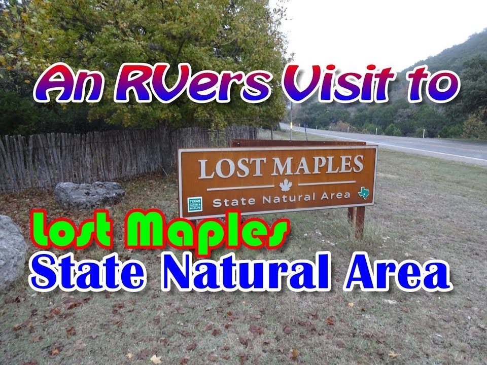 ▶ Watch Dude’s visit
🏞️ Campground · Vanderpool, Texas
“Home of the Big Tooth Maple trees makes this a great park to visit in the fall when the trees are changing colors.”Dude RV, from his November 2017 visit
Campfire is the Atlas membership on Patreon. Members sign in to their own Base Camp and get:
Rig tools · a real Texas example
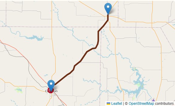
Cross Plains to Coleman on TX 206 in a rig 13 ft 7 in tall. At mile 27.5, North Neches Street runs under a railroad.
Your rig won’t fit at mile 27.5, North Neches Street. Posted clearance 13 ft 0 in (TxDMV Brownwood District) / 13′2″ (OpenStreetMap), using 13 ft 0 in. Your rig: 13 ft 7 in.
Rerouted around 1 posted limit your rig is over. Was 28.2 miles, now 30 miles.
From the Atlas route planner. Sources: the TxDMV Brownwood District low-clearance list (“13′ under a railroad located 1/2 mile north of W.SH153 in Coleman”) and OpenStreetMap. An example, Texas only for now. Always obey posted signs.
The rig check that flags it comes with Trailblazer ($9). Rerouting around it and Bail out come with Pathfinder ($25).
Everything else in the house — tools, branches, and planning rooms.